After Olle Route 1, Catch a Boat to Udo — Circle Route 1-1 on Foot
and circle Udo Island on foot
When people think of Jeju Olle, they usually picture a trail running along the coast of the main island, but some Olle routes are said to require boarding a boat and crossing to an entirely different island to walk. The route GYULI is introducing today, Olle Route 1-1, is exactly that kind of course. Going by the number alone, it looks like a pair to Olle Route 1, the course GYULI covered earlier that runs from Siheung-ri in Seongsan-eup to Gwangchigi Beach, and it is indeed often introduced as a 'branch route' attached to Route 1. What's different is where you actually walk — not Jeju's main island, but Udo, an outlying island reached only by boat. After crossing by boat from the Seongsan area, the loop that circles that island is said to be this very Route 1-1. GYULI has covered Udo once before in a general introduction to the island, focusing mainly on the ferry and on touring the island by bike or electric cart. Today's approach is a bit different — rather than the Udo you see whizzing by on wheels, this piece focuses on the experience of walking the designated Olle route on foot, circling the island one full loop. I'll be careful not to confidently pin down the exact distance or how long a full walk takes, so I'll stick to passing along what's said about it as honestly as I can.
A Branch Route Off Olle 1, Crossing to Udo
Beyond the main routes, Olle trails are said to include a few side routes known as 'branch courses,' and Route 1-1 is often introduced as one of them. Some say it's fine to walk just Route 1-1 without covering all of the main Route 1, while others reportedly finish Route 1 first and then, if they have time to spare, catch a boat over to keep walking. Boats to Udo are said to depart from piers such as Seongsan Port or Jongdal Port, though the exact schedule and fares reportedly change often with the season and weather, so it's worth checking directly before you go. The pier where you land is also said to vary — Cheonjin Port or Hau-mokdong Port among others — and depending on which one you land at, the starting point and direction of the walk can reportedly shift slightly. Because this is an island course, you can't simply step off partway through the way you can on the mainland's other Olle routes — arrival and departure need to be timed around the boat schedule, which is worth keeping firmly in mind.
The Many Faces of Udo You Meet Along the Way
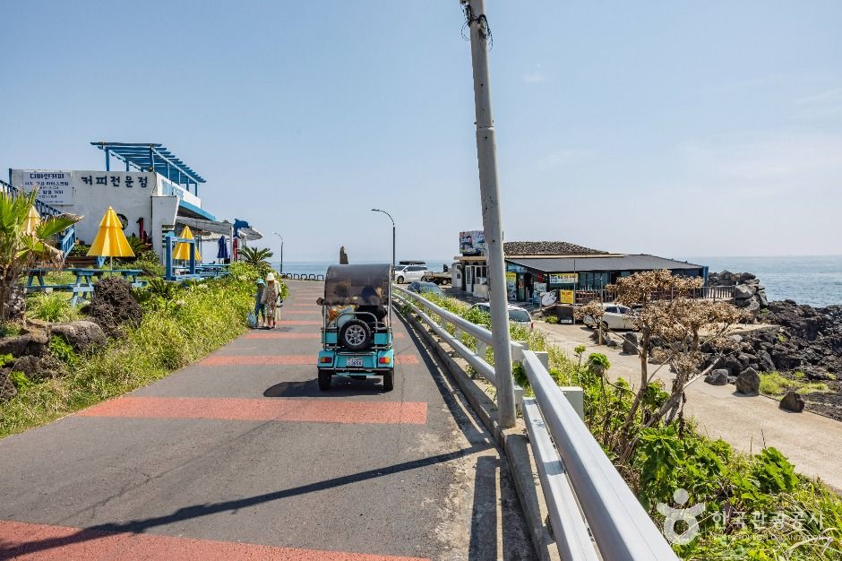
Walking Route 1-1 in person, Udo is said to reveal several different faces one after another. You reportedly pass through village lanes near the pier, turn onto farm paths between stone field walls, and before long find yourself walking along the coastline. Seobinbaeksa, known for its white sand and covered separately by GYULI before, and Hagosudong Beach, known for its sunsets, are also said to sit along the route this course passes. Rather than explain each of those spots again today, though, this piece focuses on the flow of walking past them. Along the way there are said to be modest uphill stretches and points where the trail passes a lighthouse-topped headland, and because Udo is such a small, low-lying island, the sea is said to stretch wide in every direction no matter where you are on the walk. Small details easy to miss when whizzing by on a bike or cart — wildflowers tucked between stone walls, or a village elder getting ready to head out for haenyeo diving — are said to only really catch your eye when you're on foot.
Udo seen in a blur from a bike and Udo walked one full loop on foot are said to stay with you as completely different islands, even though it's the same place.
— 🍊 GYULIGood to Know Before Following the Ribbons
Jeju Olle routes are said to be marked by blue and orange ribbons along with arrow signs, and Route 1-1 is no exception. Following these markers one by one at every fork is often named as part of what makes walking Olle trails fun in the first place. Partway through the course, and near the start and end points, there are said to be stamp stations shaped like the trail's ganse mascot or small information booths, and those attempting to complete the full Olle trail reportedly make a point of collecting these stamps too. That said, the exact location and operating status of stamp boxes are said to change from time to time, so if you're planning to bring a completion booklet, it's worth checking the latest information first.
The first thing to sort out if you've decided to walk Route 1-1 is, again, said to be the boat. Unlike the mainland Olle routes, where you can call a bus or taxi and step off whenever you get tired, an island course requires timing your exit around the ferry schedule, so it's safer to calculate your time with room to spare. How long the full loop takes is said to vary with your pace and how often you stop to rest, so please understand I can't confidently claim a set amount of time will be enough. That said, since the island is largely flat with little elevation change, the course is often introduced as an approachable one. Shade is reportedly limited along much of the route, so it's worth packing a hat, water, and sunscreen. There are also said to be stretches where you share the road with travelers on bikes and electric carts, so those on foot should stay alert. More than anything, this course is said to be less about a quick glance at Udo and more about the experience of slowly walking the island's full loop on your own two feet — so it's worth picking a day when you're not racing the clock.
GYULI's Tip · Since Olle Route 1-1 is an island course tied to the ferry schedule, double-check the exact sailing times before you go and plan your day with room to spare. Following the blue and orange ribbons and arrow markers makes the trail easy to follow, and if you're collecting completion stamps, it's worth checking the location of the ganse-shaped stamp stations or information booths in advance.