Yongmeori Coast: Rock Layers Said to Be Carved by the Waves Below Sanbangsan
a coastal walk timed to the tide
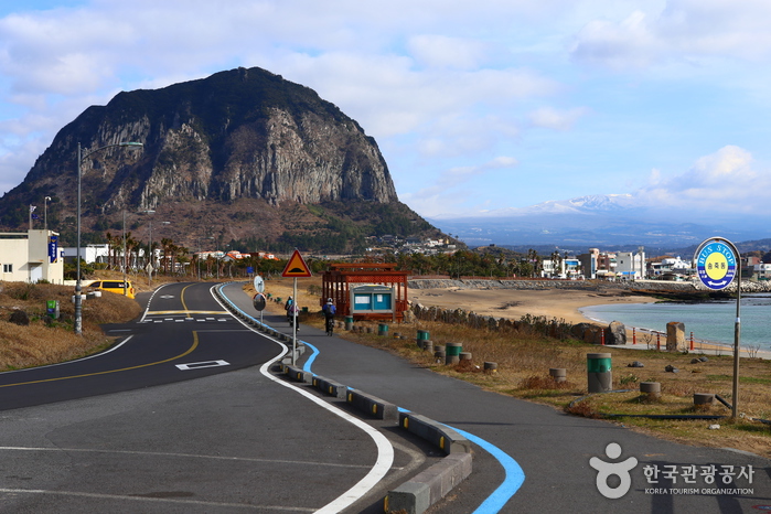
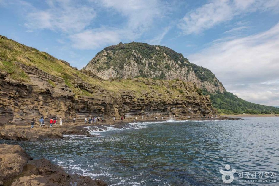
In Sagye-ri, Andeok-myeon, Seogwipo, right below Sanbangsan, Yongmeori Coast is said to be a coastal geology trail known for jagged cliffs shaped by waves and wind over a long stretch of time. Located around 192 Sagyebuk-ro 41beon-gil, this spot is said to have earned its name — which translates to something like 'dragon's head' — from the way the layered cliffs are said to resemble a dragon dipping its head into the sea as you walk along them. Thanks to views that take in both the base of Sanbangsan and the open water, it's often counted among the signature photo spots of southwestern Jeju, though part of the trail is also said to close off when the tide comes in, so it's a place where timing your visit reportedly matters. Today GYULI is carefully laying out what's known about Yongmeori Coast, being upfront about what isn't confirmed. If you're planning a visit, it's worth reading through to the end.
Below Sanbangsan, Rock Layers Said to Be Carved by the Waves
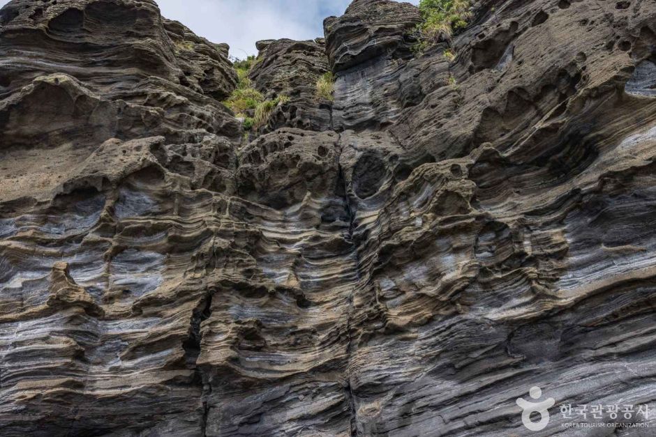
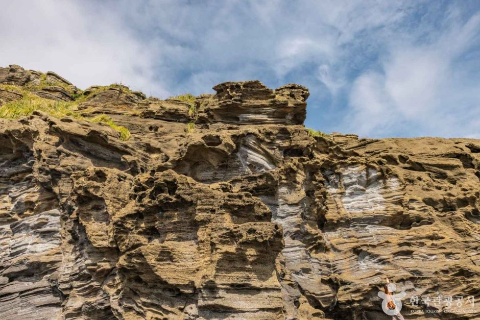
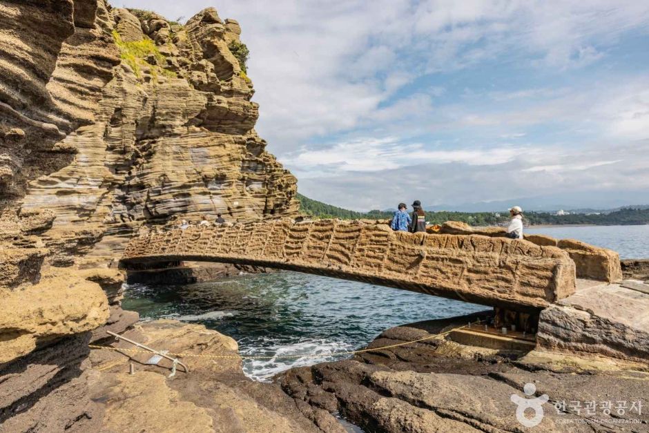
What's said to set Yongmeori Coast apart from other coastlines is the shape of the cliffs themselves. Formed over a long span of time by waves and wind, these rocks are often described as looking like thin sheets of stone stacked one on top of another, like the pages of a book. These layers are said to have formed long ago when sediment piled up during an undersea volcanic eruption and later hardened into rock, though stating the exact timing or geological process with certainty isn't something to do here. Still, it's often introduced as one of the older rock formations found on Jeju, which is said to make it a particularly interesting spot for anyone curious about geology. Walking the narrow trail beneath the cliffs, several accounts describe the patterns carved by the waves seeming to trail right along underfoot.
Watch the Tide: A Trail That Changes With the Water
The precaution that comes up most often when planning a trip to Yongmeori Coast is reportedly the tide. Since the trail runs low along the coastal rocks, waves are said to reach up onto the path as the tide comes in, closing off part of the route. Conversely, at low tide the rock base is said to be exposed generously enough that visitors can take their time exploring every corner of the cliffs. Exactly when closures start and lift can apparently shift with that day's tide and weather, so it's hard to state precisely here. If you're planning a visit, it's worth checking the day's tide schedule beforehand and, once on site, looking over the posted signage or checking with staff on duty for the safest approach. Rocks can also get slippery when wet, so it's worth watching your footing too.
I've heard more than once that timing a visit right around low tide exposes the rock base enough to explore Yongmeori Coast far more comfortably — avoiding high tide alone seems to make for a much easier walk.
— 🍊 GYULI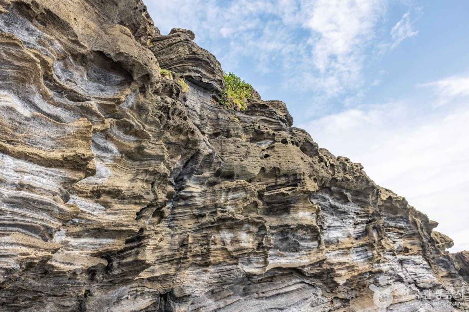
A Spot Once Said to Be Crossed by Hamel — and Yongmeori Coast Today
The waters near Yongmeori Coast are said to be tied to a story about the Dutch sailor Hendrick Hamel and his crew, said to have washed ashore nearby long ago — a story already covered in detail elsewhere, so today it's only mentioned briefly. Setting that history aside, Yongmeori Coast is often introduced today simply as a place where the cliffs and sea alone are said to be enough to hold a visitor's attention.
There's said to be a ticket booth near the trail entrance, and the site is reportedly run as a paid facility, so it's worth checking the operating hours and admission fee before you go. The view looking down from the Sanbangsan side is also said to be well known, and many visitors reportedly plan a route that pairs a walk along Yongmeori Coast with a stop around Sanbangsan. Since whether the trail is open can keep changing with the season, weather, and that day's tide, it's worth building some flexibility into your schedule.
GYULI's Tip · Part of the Yongmeori Coast trail is said to close off when the tide comes in. Be sure to check the day's tide schedule before you visit, along with the admission fee and operating hours, for a safer trip.